
Hesperia Neighbors Sources
A block lookup has a defined spatial core and several supporting layers. Start with the City address locator and county parcel polygon. Then inspect adjoining APNs one at a time in the assessor system. Use the recorder only for identified parties and documents. The City election map and county weekly registration reports provide civic geography without a named voter list. Permits and code files can date physical projects. Historical directories can reconstruct an earlier block when a verified volume exists.
| Source | What it shows about a block | Access |
|---|---|---|
| County parcel FeatureServer | Adjoining polygons, APN-related attributes, owner display field | Free map or spatial query; max 1,000 features |
| Hesperia address locator | Matched street or intersection, score, type, geometry | Free City GIS REST service |
| Assessor PIMS | Situs, mailing context, characteristics, parcel history | Individual parcel search |
| Recorder index | Transfers and document parties for identified parcels | 1925-present index; counter images |
| Election district map | Council district and public representation geography | Address-based City map |
| Weekly registration report | Aggregate party totals by political jurisdiction | County public report |
| Community contacts | Public institutional routes, not private membership lists | City, park district, or association contact |
The table describes a block without turning it into a people list. A parcel may contain several units, a common area, a road, or no structure. An owner may be a trust, company, association, public agency, or person who receives mail elsewhere. Neighbor research is more accurate when those structural facts stay visible.
Hesperia Neighbor Parcel Block Method
Use the address locator first because it distinguishes a candidate address from an intersection and returns a match score. In the county Map Viewer, zoom until parcel outlines are clear. Select the target polygon, note its geometry and object identifier, then choose touching polygons in a consistent direction. Across-the-road properties do not geometrically touch, so define whether the block includes them. Cul-de-sacs, flag lots, split parcels, condominium common parcels, and private drives need a map-based definition.
The San Bernardino County parcel service is shown in this block-research image. 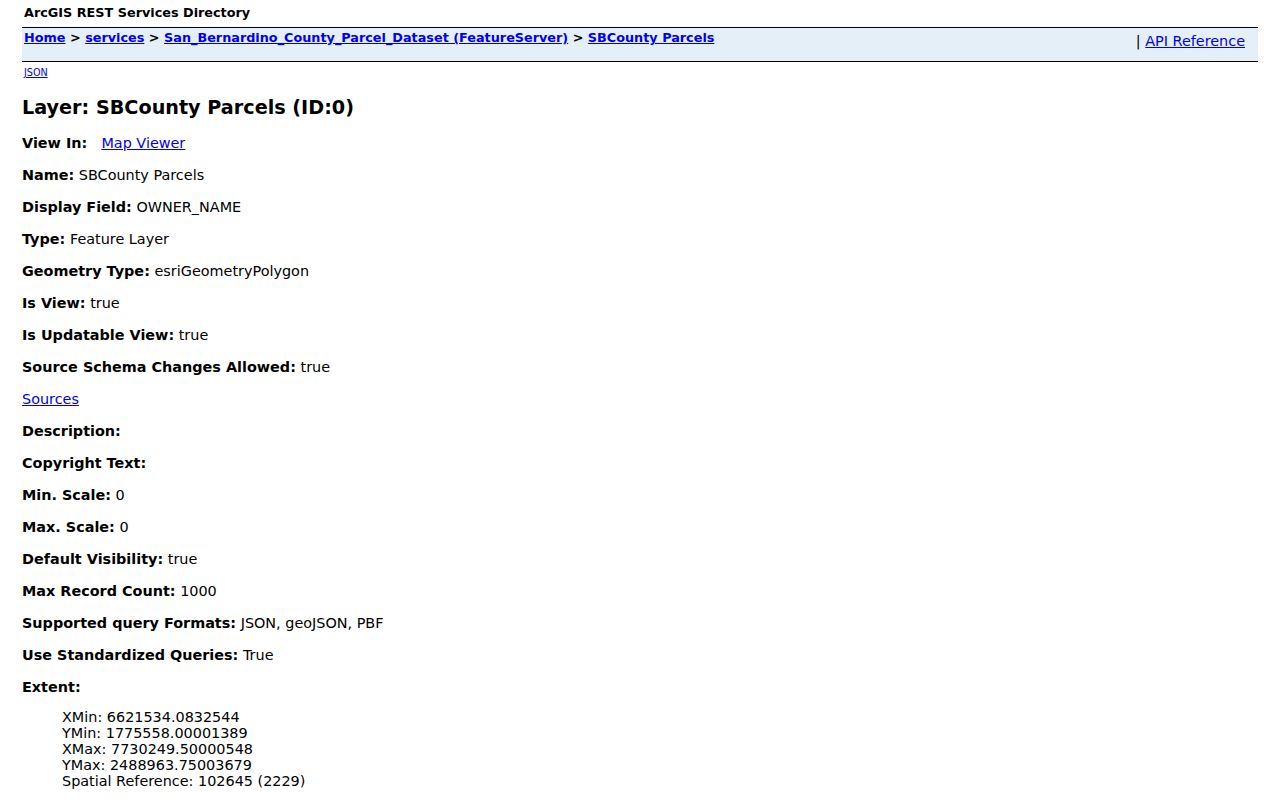 The polygon relationship answers which properties are near the target, not which people are next door.
- Record the target address, geocoder match, cross streets, map extent, and inspection date.
- Select the target parcel and note APN-related attributes, geometry, tract pattern, and owner display field.
- Select adjacent polygons one at a time and keep a separate row for each APN.
- Open assessor context for each selected parcel, preserving situs and mailing fields as different columns.
- Use the recorder, permits, district map, or historical source only when the block question needs that layer.
Hesperia Neighbor Lookup Steps
The adjacent-parcel method is reproducible when the map boundary is written down. A small visual block pass is preferable to an uncontrolled county query. The public parcel layer supports standardized geometry and attribute queries, but its maximum record count is 1,000. The map's owner display field is a snapshot, not a title guarantee. If it conflicts with PIMS or a recent deed, record the conflict and consult the source custodian.
A block table should keep parcel facts, deed facts, permits, district information, and historical household clues in separate columns. That prevents a permit applicant from being mistaken for an occupant or a mailing address from being treated as a physical home. If the goal expands from the immediate block to a full named street, move to the Hesperia street directory address chain.
- Adjacent parcel
- A property polygon that touches the target under the chosen map definition.
- Owner display field
- A parcel-layer value used for map context, not a final title opinion.
- Situs
- The physical parcel address shown by the assessment system.
- Mailing address
- The destination for correspondence, which may be outside the block.
- Block boundary
- The cross-street, parcel, or map extent chosen for a reproducible local search.
Hesperia Neighbor Voter Boundary Rules
California voter rules are central to a Hesperia neighbors search. A specific voter registration record identifies a named voter with identifying information. Under 2 CCR section 19001, that is different from an unidentified set such as all voters on one street in a city. Approved files can include residence, mailing, precinct, party, registration, and participation fields for an authorized purpose, but personal, private, or commercial communication and harassment are prohibited. Confidential voters and preregistration records are excluded.
The City election page provides an address-based council-district lookup. Hesperia changed from at-large elections to districts in 2017. A county Weekly Report of Registration provides aggregate party totals by political jurisdiction. Neither identifies nearby voters. That is a useful boundary, not a missing feature.
The county voter-record access page is shown in this block-research image. 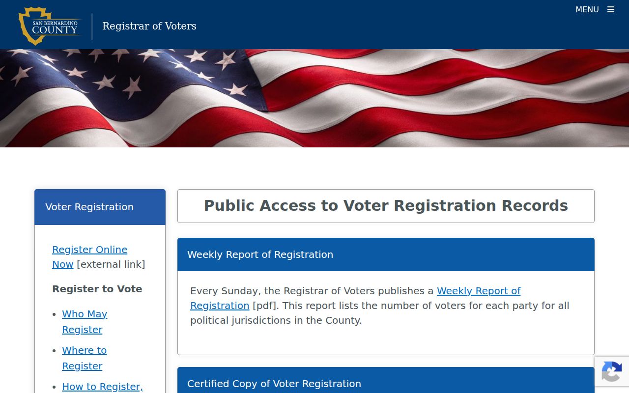 Public civic geography can explain a block without exposing a casual named voter list.
Hesperia Neighbor Community Contacts
The research did not locate an official citywide Hesperia neighborhood-association directory, a complete watch-group inventory, or a public membership roster. Public contact routes still exist. The City and its council-district information can explain representation. The Hesperia Sheriff Station can be contacted about neighborhood-watch coordination without asking for private participants. HOA governing documents or entity records may identify an association tied to a subdivision. Hesperia Recreation and Park District supplies public board and program contacts.
| Organization or layer | Public route | What it does not provide |
|---|---|---|
| Hesperia City Council districts | City election map and elected-contact information | Resident or member roster |
| Sheriff neighborhood-watch layer | Contact the local station for program information | Complete public participant list |
| Individual HOA | Recorded declaration, map, entity search, or published business contact | Private member directory |
| Hesperia Recreation and Park District | Public board, meeting, park, and program information | Private program participant list |
A community organization can help explain how a subdivision, park, or council district works. It cannot be treated as a government residents roll. Contact information should be used for the organization itself, not to reconstruct private participants.
Hesperia Neighbor Block Evidence
Official rolls and commercial neighbor tools are different products. County and city records preserve a source office, record role, date, and access rule. A commercial compilation may merge old addresses, filings, phones, and licensed feeds into a convenient result. It can be stale, confuse names, or flatten an owner and an occupant into one label. A Hesperia neighbors search should use the compilation only as an unverified lead, then return to the official source.
| Evidence type | Strength | Boundary |
|---|---|---|
| Parcel polygon | Strong for spatial adjacency at the inspection date | Does not identify every person nearby |
| Assessor record | Strong for parcel and tax-mail context | Not a title ruling or occupancy roll |
| Recorder document | Strong for an indexed party and instrument role | Web images limited; no address-first search |
| Permit or code file | Useful for a dated project or official case | Applicant is not necessarily an occupant |
| Commercial compilation | Convenient lead only | Source dates and identity merges may be unclear |
This comparison is why a neighbor lookup reports parcel facts and dates rather than asserting who is next door. The block can be mapped precisely while household identity remains partly private.
Hesperia Neighbor Neighborhood Geography
City, postal, parcel, school, park, water, precinct, and council-district boundaries answer different questions. Hesperia's large-lot residential pattern, newer subdivisions, Hesperia Lakes, Main Street, and the I-15 corridor do not all behave like one neighborhood record. A map label can identify a place while a parcel legal description identifies the land. A business or incident near I-15 and Main Street may involve many nonresidents, so a location record needs a date and purpose.
The City election map is an address-keyed civic layer. The county parcel service is the stronger spatial layer for touching lots. The assessor and recorder then add property and transfer context. For historic blocks, census schedules and directories may use a different boundary. A Hesperia neighbors search should say which geography it uses before drawing conclusions.
Hesperia Neighbor Privacy Safeguards
Safe at Home supplies eligible California participants with a substitute mailing address, confidential mail forwarding, and a confidential voter-registration path. It is available through an enrolling agency for listed safety situations and is not witness protection or a retroactive eraser of all old public records. A protected person may therefore be absent from a normal block clue for a lawful reason.
California Safe at Home information is shown in this privacy image. 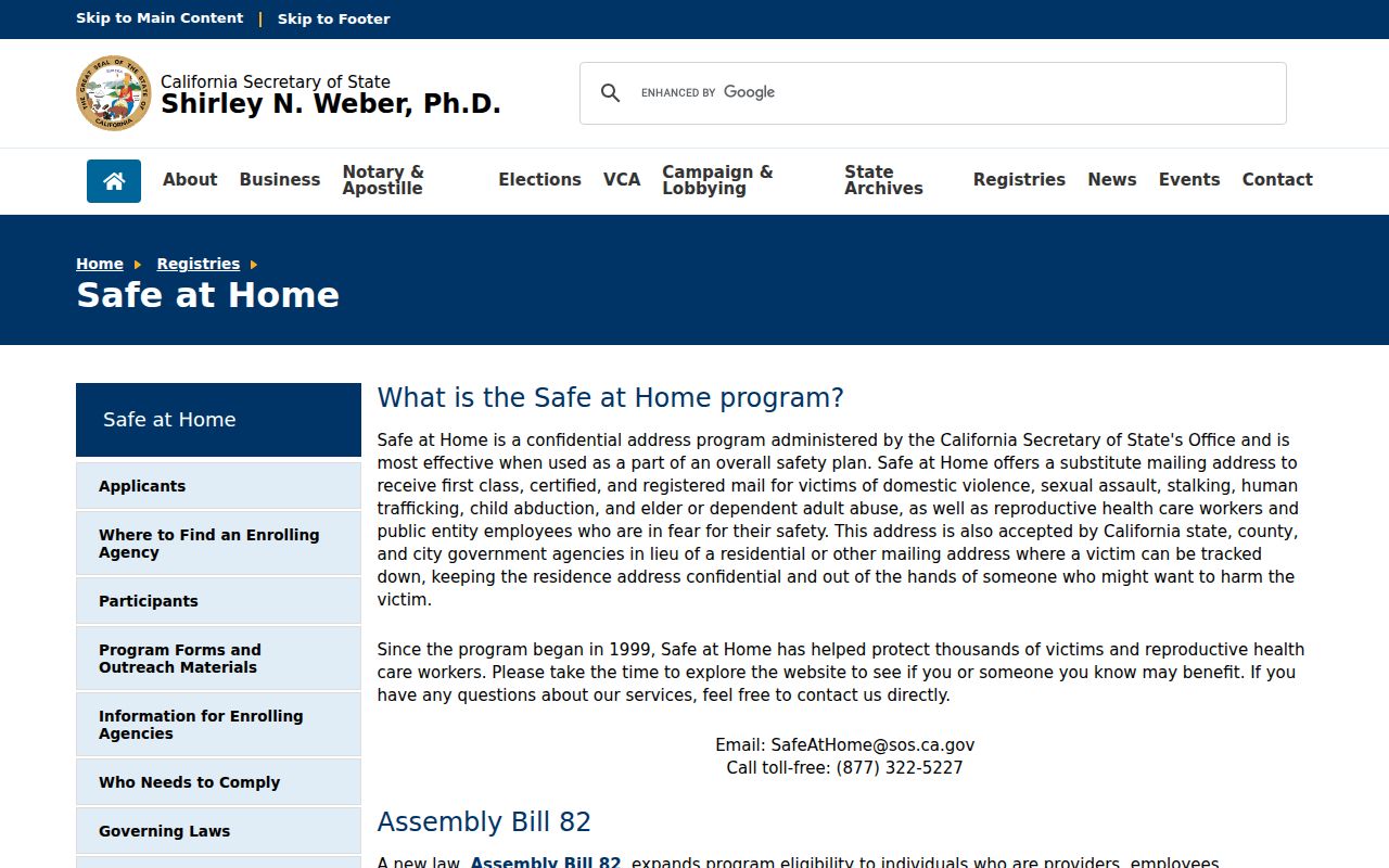 The correct response to a protected address is respect for the program, not a search for a substitute identity.
California privacy rights also address commercial data. The CCPA includes rights to know, delete, correct, limit certain uses, and opt out of sale or sharing, subject to exceptions. The Delete Request and Opt-out Platform, or DROP, launched January 1, 2026 and sends one request to registered data brokers. It does not erase county assessor, recorder, court, or City records.
California consumer privacy guidance is shown in this privacy image. 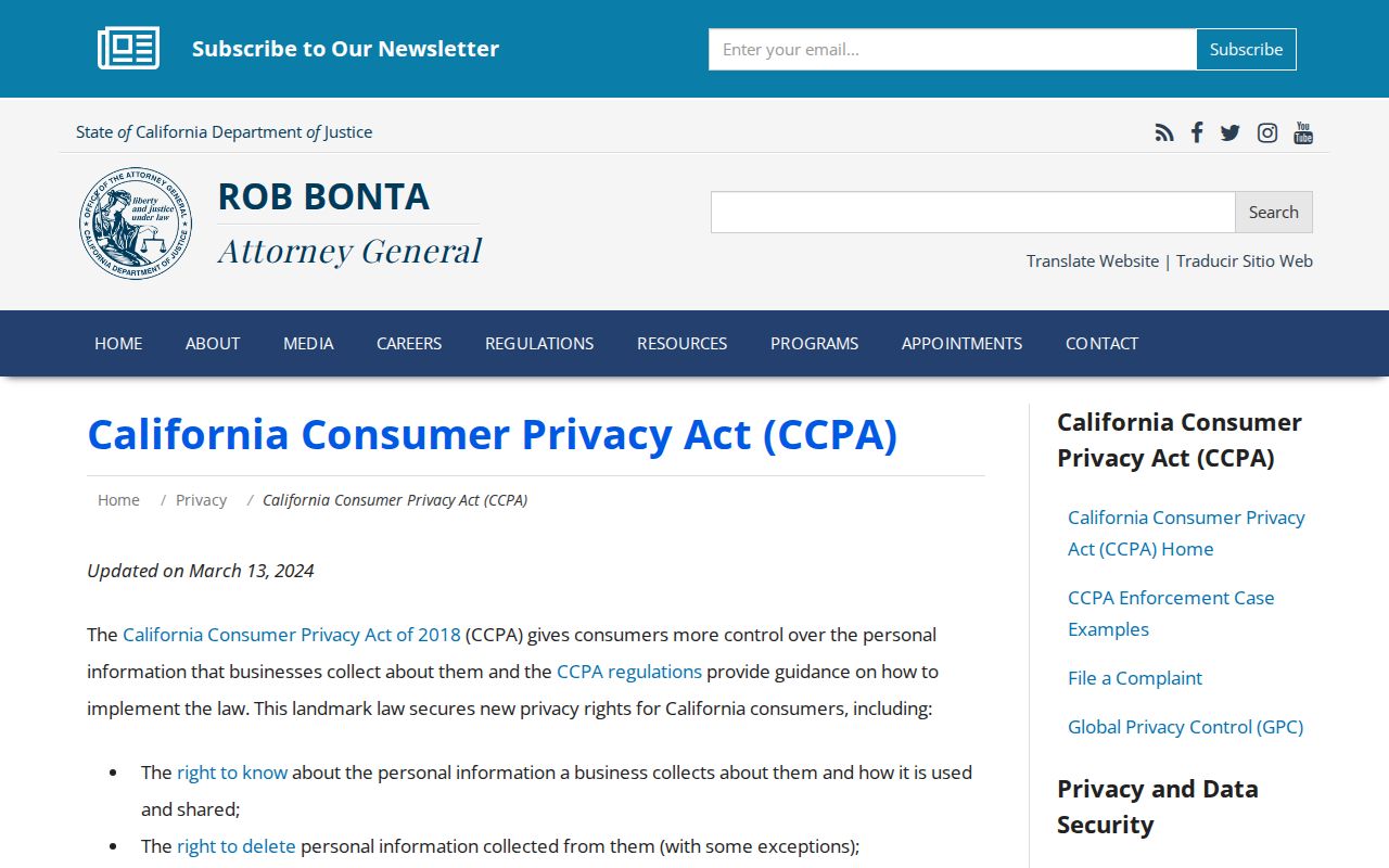 The guidance explains rights against commercial data handling, while the county source record follows its own access law.
The California DROP portal is shown as well. 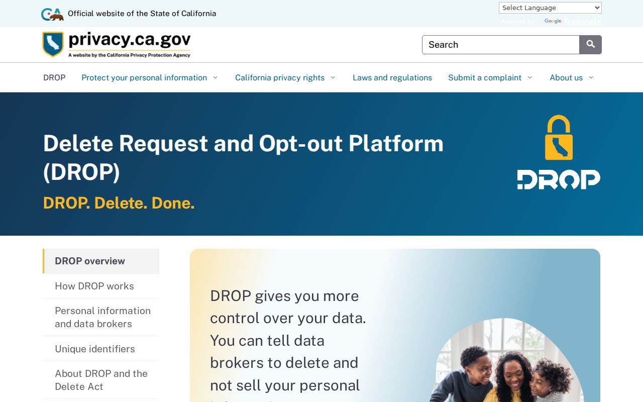 DROP can send a request to registered data brokers; it does not erase an underlying assessor, recorder, court, or City record.
Hesperia Neighbors Privacy
A parcel map of nearby owners is not a map of nearby people. Household members, people using protected addresses, utility customers, delivery recipients, private association participants, and occupants whose names never enter a public record remain outside the ordinary Hesperia neighbors workflow. A lawful search can explain land, representation, project history, and a dated historical block without exposing private household details.
Lawful block research. Use Hesperia neighbors information for civic curiosity, family history, property context, and personal safety awareness. Do not use it to stalk, harass, intimidate, or expose another person.