
Hesperia ZIP Code Coverage
USPS evidence groups the documented Hesperia postal areas with the Hesperia mailing name. The research identifies the principal delivery ZIP for central and eastern Hesperia and verifies a physical Hesperia Post Office at 17240 Olive Street. Other sources associate additional postal areas with western, southwestern, eastern, or southeastern territory, but they do not provide a definitive official neighborhood boundary table. A Hesperia ZIP code directory should preserve that distinction.
| ZIP code | Documented relationship | Post office | Notes |
|---|---|---|---|
| 92345 | Principal Hesperia delivery ZIP; central and eastern city association | Hesperia Post Office, 17240 Olive Street | Retail and PO box details verified |
| 92344 | Hesperia postal ZIP associated with western and southwestern city area | Exact serving retail station not verified | Use USPS address lookup for a street |
| 92340 | Hesperia postal ZIP associated with eastern and southeastern territory | Exact serving retail station not verified | Postal grouping is not a boundary survey |
Postal Bulletin 22247 and archived USPS labeling group the documented ZIPs under the Hesperia mailing name. The postal directory should not convert that destination label into an incorporated-city conclusion. A particular address still needs a city and county map check.
Hesperia ZIP Code Map
USPS has two useful modes. City and State lookup shows which ZIP codes are associated with a mailing place. Address lookup validates the deliverable ZIP for one full street address. The second mode is the better choice for a parcel, permit, or family-history question because it tests the actual delivery address instead of relying on a city label. Keep the lookup date because postal routes and portal fields can change.
USPS City and State ZIP lookup is the source shown here. 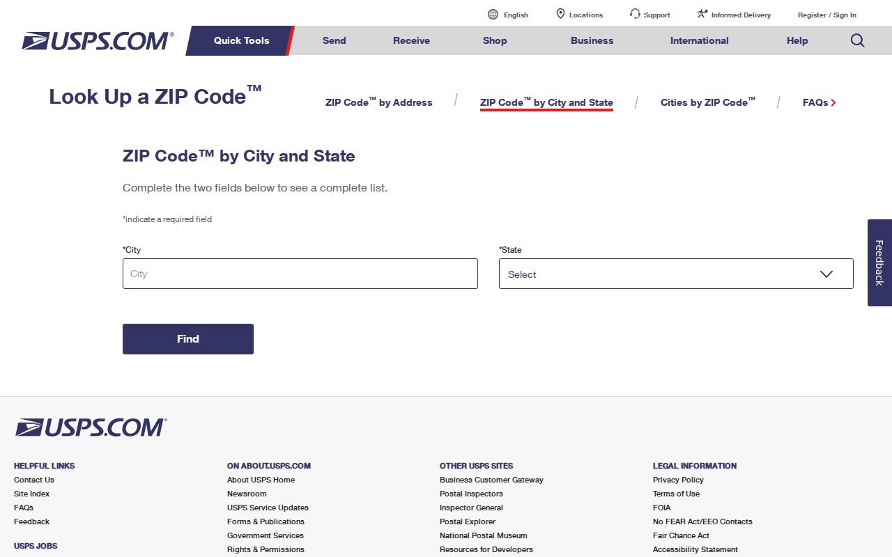 The result groups postal delivery areas, not every parcel inside a city line.
USPS publications also list a Hesperia destination label with the three ZIPs. They do not establish a unique ZIP, a citywide polygon, a ZIP split year, or a complete population count. Those missing facts should remain marked as unverified.
Hesperia ZIP Lookup Workflow
A postal search becomes useful when each step answers one question. USPS answers mail delivery. The City geocoder answers address matching. The county parcel map answers parcel location. The assessor answers assessment context. The City election map can return council-district information. A Hesperia ZIP code directory should send a reader through those layers rather than suggest that one postal code reveals every nearby resident.
- Run the full street address through USPS Address Lookup and save the returned ZIP and mailing city.
- Send the same address to the Hesperia City locator and record the match address, score, type, and point.
- Confirm the point against the county parcel polygon, APN, situs, and city or unincorporated jurisdiction.
- Choose the record custodian that fits the question: assessor, recorder, City Clerk, court, library, or elections office.
- For a street-by-street search after the ZIP is narrowed, use the Hesperia street directory address chain.
The workflow is also a safeguard against false precision. A ZIP result can be right for delivery while a city, school, water, election, or parcel boundary points elsewhere.
Hesperia ZIP Address Keys
ZIP research uses several address keys that should not be collapsed. A postal ZIP is a USPS routing area. A situs address is the parcel's physical location. A mailing address receives assessment or tax correspondence. An APN links county property systems. A legal description preserves lot, block, tract, or metes-and-bounds identity. ZIP+4 refines delivery beyond the five-digit ZIP, but it does not become a land parcel key.
- ZIP code
- A USPS delivery geography used to route mail, not a city-limit or land-title line.
- ZIP+4
- An added delivery segment for a more precise mailing route.
- PO-box ZIP
- A ZIP used for post-office boxes or facility delivery; no Hesperia ZIP was verified as PO-box-only.
- Unique ZIP
- A special postal assignment for one organization or facility; none was verified for Hesperia.
- Situs address
- The physical location used to connect an address to a county parcel.
The county PIMS manual documents parcel, map book, tract, attached parcel, and Property ID searches. It does not supply a verified public ZIP-wide owner filter. That is why a postal directory should use an address or APN when the question turns to land or records.
Hesperia ZIP Boundaries
ZIP boundaries can cross or extend beyond the incorporated city. A mailing label of Hesperia can cover an unincorporated pocket, while a parcel linked to Hesperia services can carry a different postal route. The city covers roughly 75 square miles according to its corridor plan, but the plan does not replace USPS delivery data or a parcel boundary. For jurisdiction, use the City and county map. For mail, use USPS. For land continuity, use APN and legal description. That is the boundary a Hesperia ZIP code directory must keep visible.
Hesperia's Main Street and Freeway Corridor plan is shown here. 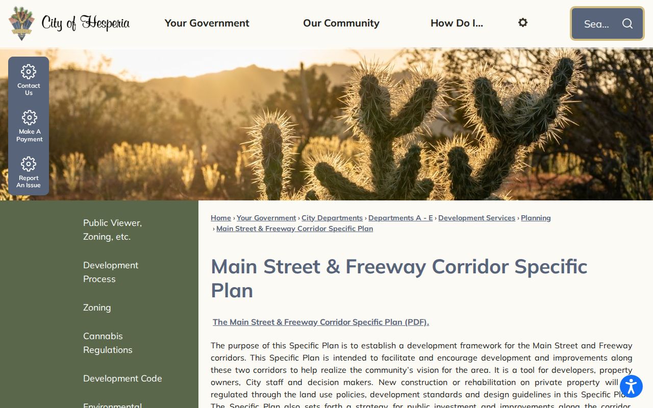 City geography can explain a local place, but it does not establish the USPS polygon.
Boundary check. A Hesperia mailing ZIP proves a delivery association. It does not, by itself, prove that a parcel is inside the incorporated city or served by a particular agency.
Hesperia ZIP Post Office Detail
The verified Hesperia Post Office is at 17240 Olive Street, Hesperia, California 92345-9998. Research notes list PO box access around the clock, retail hours Monday through Friday 9 a.m. to 5 p.m., and Saturday 9 a.m. to 1 p.m. These details identify a physical postal facility and the 92345 association. They do not prove that every Hesperia address is served from that counter, especially when 92340 and 92344 appear in USPS destination material.
Use the facility page for retail or box questions and the address lookup for delivery validation. Do not use a post-office address as a substitute for a situs, owner, or household address. A PO box is a mailing destination, and the person who receives mail there may be different from the parcel owner or any occupant.
USPS's Hesperia Post Office listing is the source shown here. 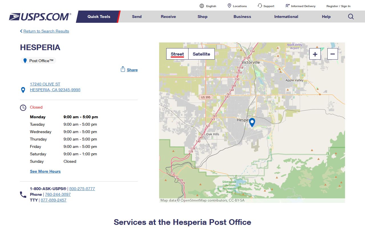 The facility fact belongs to the delivery layer of the postal directory.
Hesperia Assessor ZIP Searches
Local portals do not all offer a ZIP filter. The Hesperia geocoder accepts a street or intersection or a single-line address and returns candidates, score, address type, and geometry. The county parcel FeatureServer can be queried where an attribute exists, with a maximum of 1,000 features per query, but its public interface does not promise a complete ZIP export. PIMS documents parcel, name, situs, map, tract, attached-parcel, and property-ID modes rather than a verified ZIP-wide owner browse.
Other address records can be searched one address at a time. Hesperia permits and code cases use street or APN details when a request is specific. San Bernardino County Environmental Health publishes searchable food-facility records with address context. That record can identify a facility and inspection trail, but it is not a list of residents at the ZIP.
The county food-facility search is shown here.  An address-indexed public record still has a defined purpose and should not be stretched into a household claim.
Hesperia ZIP Records
USPS Address Lookup is the cleanest first check for a specific ZIP. The city locator then confirms whether the address can be placed on the Hesperia map. The county parcel service, assessor, and City election map answer separate jurisdiction questions. Hesperia moved from at-large elections to council districts in 2017, so an address can return a district even though a ZIP cannot tell you its representation.
| Portal | ZIP or address capability | What the result does not establish |
|---|---|---|
| USPS City and State | ZIPs associated with a mailing city | Exact parcel or incorporated boundary |
| USPS by Address | Deliverable ZIP for a full address | Owner, occupant, or public agency |
| Hesperia geocoder | Address candidate, score, type, and geometry | ZIP-wide resident list or title |
| County parcel service | Parcel features and attributes where queryable | Complete ZIP export or occupancy |
| City election map | Council district for an address | Postal ZIP boundary or nearby people |
USPS address lookup is shown here. 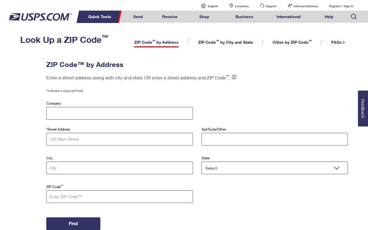 Once the ZIP is verified, the parcel and agency checks still need to be done separately.
Hesperia ZIP Directory Limits
A Hesperia ZIP code directory can organize mail geography and help normalize an address. It cannot identify everyone who receives mail, show a complete list of households, or decide which agency holds a record. USPS delivery areas, parcel lines, school districts, water service, council districts, and city limits can diverge. The documented research also found no official ZIP split year, exact polygon boundary, per-ZIP population table, or unique Hesperia ZIP.
Use the right key. Use the postal ZIP for mail, the City locator for address matching, APN and legal description for land, and the responsible custodian for a Hesperia record search. Do not use a postal label to expose or infer a person's private location.